The Basics
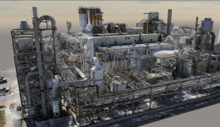
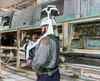
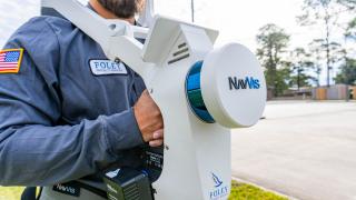
Reality capture is the process of collecting accurate real-time spatial data in areas of interest like production units, or even warehouses. Foley SS deploys equipment that uses highly accurate laser scanning (LiDAR) and photogrammetry to produce crisp, clear spatial imaging and point clouds that can be accessed by relevant parties from anywhere on the globe.
By using spatial data collected from the asset in real-time, your management team can plan ahead for repairs and maintenance to reduce downtime and maximize profitability. The collected 3D data is then labeled using details on specific points of interest to create a record of the asset that can be tracked for future use. Project planning is taken to a new level of speed and accuracy.


